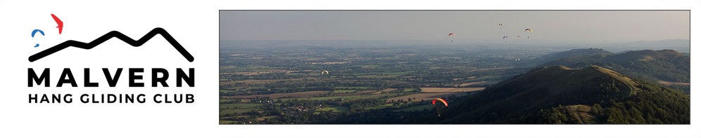
Beacon (East) Site Guide
Interactive Map - drag, zoom, and click on items for descriptions.
Red, no landing. Purple, no overflying.
ALL OF THE "Malvern Hills General Site Rules" APPLY TO THIS SITE
PILOT REQUIREMENTS
Helmet sticker, and BHPA Pilot Rated (or foreign equivalent)
BHPA CP rated ONLY IF accompanied by a Malvern coach who is happy with your flying, Specifically launches and landings. This is for the East launch of the Beacon ONLY.
GRID REF
Worcestershire Beacon SO769451
WIND DIRECTION
ESE - ENE ( 30° - 120°) best E
HEIGHT
425m (1395′ )
EXTENT OF SITE
Around 4.5 miles along the ridge to the south. Flying north below 2000' AGL is severely limited - see map.
HAZARDS
The Malverns are in an intense military low flying area. If flying midweek then pilots must notify Military Air Traffic, see the CANP section on the Safety page.
The Malverns Hills are a "Spineback" ridge so beware of flying your glider in strong winds; getting blown back could be fatal. NEVER GO OVER THE BACK AT LESS THAN 500 ft ABOVE TAKEOFF, IN ANY WIND, DUE TO ROTOR.
On days with unstable air strong lee side thermals develop early and pull in air from the windward side. The thermals on the windwards side can then be broken and the air can be very rough. This can also lead to sinking on the windward side necessitating quick slope landings. On days with strong winds, which can lead to climbs drifting over the back low, there can be an early connection with a lee side thermal. The turbulence experienced can be extremely violent and beyond the best active flyer. Later in the day these effects are not so noticeable.
Many of the paths are bridle-ways so pilot must be extra vigilant so as to not to spook horses.
CAPACITY
6 - 8 on a ridge soaring day will feel crowded.
ACCESS
Via West Malvern Rd or Beacon Rd. Take path (See map – Yellow Line)
PARKING
West of England Quarry pay & display car park WR14 4DG. Beacon Rd pay & display car park. WR14 4EH
TAKE OFF AREAS
The area east of the Beacon trig point just below the hill crest.
LANDING FIELD
The football field and surrounding common, on the higher level common West of the Train line. Inside of the orange area on the interactive map.